AgroApps 360o is a crop monitoring and management ...
AgroApps Hub
Having a diverse pool of industry experts, we put emphasis on research and invest on new technologies, so as to be in the position to deliver groundbreaking digital solutions that address real life needs. The combination of research, technology and professional expertise provided us with the ideal foundation to build AgroApps Hub and form the core of what we do. Our services are based on machine learning techniques and state-of-the-art computational algorithms, aiming to combine and process large volumes of IoT data, satellite imagery and drone photos and extract targeted information and customize it to users’ needs. These services are developed according to the most updated interoperability standards and serve the development of integrated complex information systems and applications in Web, mobile and Cloud environments, that are either developed by AgroApps, or provided as a service to our clients..
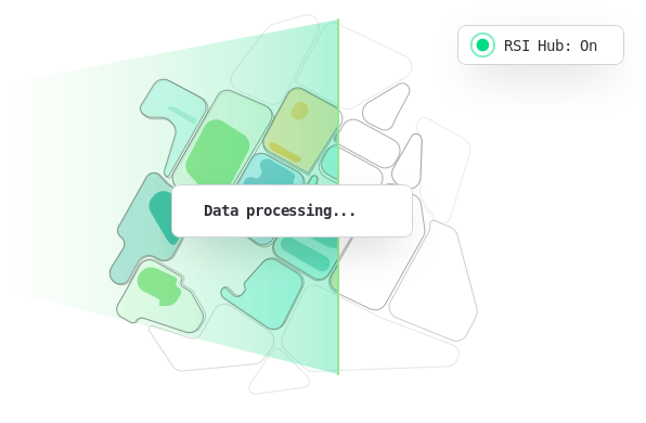
Remote Sensing Imagery Hub
Our in-house hub for utilising Remote Sensing imagery supports the use of any EO satellite data provider (commercial or non-commercial) or any third source EO information (e.g UAV images). Our RS hub automatically processes imagery and delivers cloud-free and atmospheric corrected data products. The result is “on the fly” map access & Indexes calculation for the area of interest available to our clients.
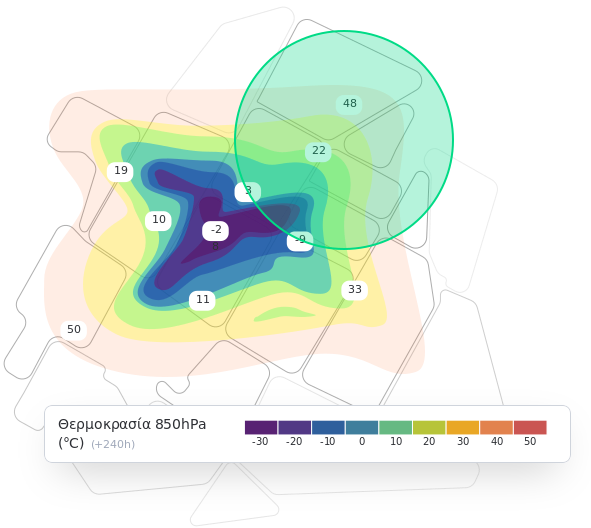
Weather Intelligence Engine
AgroApps is operating in-house its own Numerical Weather Prediction & Atmospheric Data Assimilation system, allowing us to deliver focused and specific operational-wise information to our clients. Atmospheric Analysis and weather forecasting products allow us to deliver information of: Increased precision – with higher Spatial & Temporal resolution, Increased assurance – weather information that reflects microclimatic conditions, even better client readiness – providing timely alerts meaningful for their operations
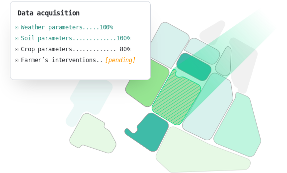
Crop Intelligence Engine
AgroApps utilizes well-established crop growth models, to monitor, simulate and forecast the effects of environmental conditions on crop development and final yield. Leveraging on an extensive network of pilots we managed to further improve crop and area-specific algorithms. This allows us to deliver a diverse set of operational downstream services for the agricultural and agri-related sectors.
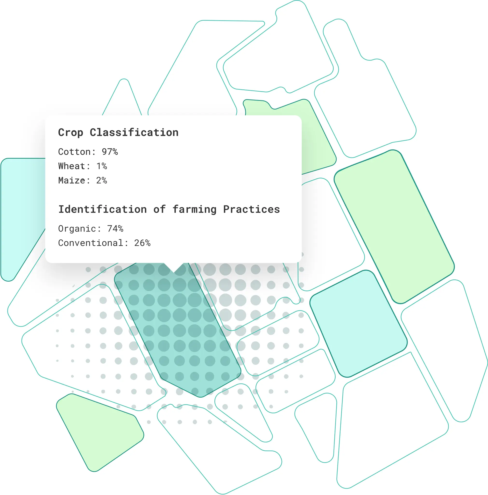
Artificial Intelligence Framework
AgroApps uses artificial intelligence and machine learning techniques to remotely identify crops and farming practices, assess crop damage from extreme weather phenomena and predict crop yields. Using these methods, Earth observation, meteorological and in situ data are transformed into useful information for farmers, agri-food companies and agricultural insurance providers.